


The Branscombe Project

Fixed Point Photography
Background
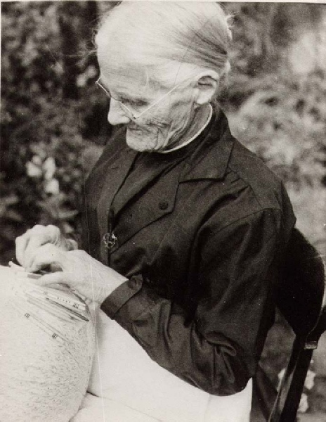
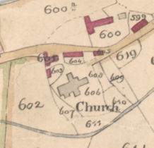
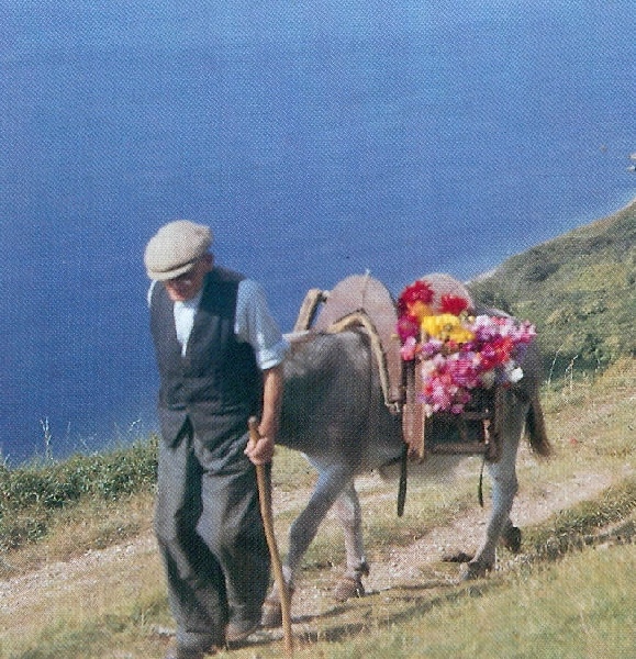
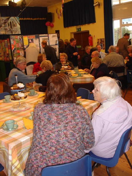
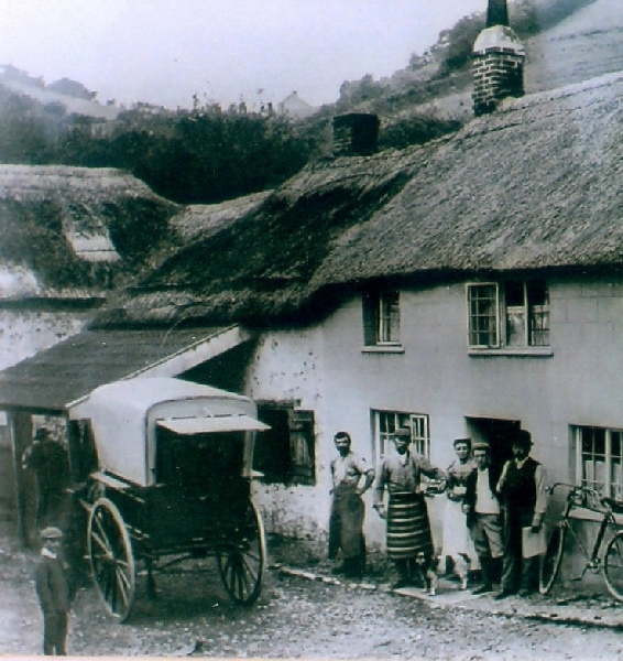
Branscombe Parish Council has an extensive photographic archive which is administered by the Branscombe Project. The archive contains many images of village landscape, land-
In 2013 the Branscombe Project was involved in a HEAPs project created by English Heritage and the AONB. One aim was to add to the archival images by creating a Fixed Point Photography Project that recorded changes in the landscape over time.
What is Fixed Point Photography?
Fixed Point Photography is the process where images are taken at a regular interval (once per quarter) from a fixed point in the landscape. By taking the same images at regular intervals, they can then be compared and changes in land use and development recorded.
Chris Bass has continued to add to the fixed point photography by taking images 4 times a year at each fixed point since 2014 and he will be continuing this work in future.
Click here to read more about the project.
Locations of the Fixed Points
(Click on each to view the photography, arranged in date order with the newest images first)
An effective way of viewing the fixed point images is as a slideshow. Open a fixed point album from the above list.
Then to run a slideshow click the icon above the heading and photos at the top right of the screen. To end
the slideshow at any time click ‘esc’.
| Winter Talks |
| Archive Misc |
| Barbara Bender |
| Geoff Squire |
| John Torrance |
| Unpublished Papers |
| Postcard Archive |
| Photographic Archive |
| Talks Page 1 |
| Talks Page 2 |
| Talks Page 3 |
| Talks Page 4 |
| Talks Page 5 |