

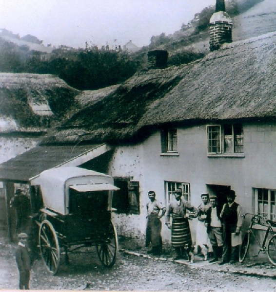
The Branscombe Project

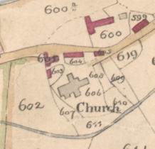
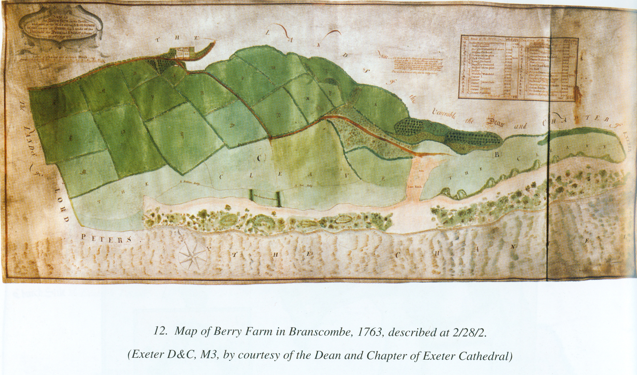
Berry Barton Map 1763
‘A Map of Berry Farm in the Parish, and part of the Manor of Branscombe in the County of Devon, the Lande of the Venerable Dean and Chapter of Exeter. Map’d in May 1763 by John Tothill’
This is the earliest map we have for Branscombe
It is drawn and painted on parchment and measures 96.7 x 42.7 cms. It is set out on ‘a scale of Chains each 4 Statute Perch’. (On the scale bar one inch equals 4 chains)
‘The Channel’ is grey with wave lines. The cliffs are pale orange -
A note describes the garden plots:
On the South of the Cleave are a great number of acres of Land of little or no value, (Except a few little Garden plots which the Tenant letts out, some at 1s and others at 7d a year) and on accounts of its cragginess and great declivity towards the Sea, no Dimensions could be taken ...
This is the earliest reference we have to the cliff plats which later came to play an important part in village life.
These notes are taken from Mary R. Ravenhill & Margery M. Rowe (eds) Devon Maps and Map-
Ravenhill & Rowe mention two associated documents:
1. Exeter D&C Chapter Act Book, 3569, 582. 9 Oct 1762 They ordered Berry Farm in Branscombe to be surveyed.
2. Exeter D&C Chapter Act Book, 3570, 72. 19 Nov. 1763 They order’d Mr. Tothill’s Bill of £4. 17s. 0d for surveying and Planing Berry Farm in Branscombe to be paid
Images reproduced by permission of the Dean and Chapter of Exeter Cathedral.
Thanks to Phil Planel who photographed the map.
Click the map below to view full screen
| Archive Misc |
| Barbara Bender |
| Geoff Squire |
| John Torrance |
| Branscombe Parish Newsletter |
| Photographic Archive |
| Postcard Archive |
| Talks Page 1 |
| Talks Page 2 |
| Talks Page 3 |
| Talks Page 4 |
| Talks Page 5 |